Engineering Survey & Mapping

At Transition Consultant Pvt. Limited (TCPL), Engineering Survey & Mapping are fundamental services that drive the successful execution of our diverse projects across various sectors. These services are critical for ensuring that all aspects of project planning, design, and construction are based on accurate and comprehensive data. Engineering Surveying at TCPL involves detailed measurements and mapping of land and existing structures. This process is essential for creating a clear understanding of the project site, which in turn supports effective planning and execution. Our surveying services include topographic surveys, boundary surveys, and construction surveys. Topographic surveys are designed to capture the contours and features of the land, including elevations, natural landmarks, and existing structures. This data helps us comprehend the terrain and integrate our designs with the natural environment, ensuring that new infrastructure fits seamlessly into the landscape.

Boundary surveys define the legal limits of a property or site, which is crucial for compliance with property lines and zoning regulations. By accurately delineating boundaries, we prevent encroachments and legal disputes, ensuring that our projects adhere to regulatory requirements and are executed within designated areas. During the construction phase, we conduct precise construction surveys to ensure that structures are aligned and placed according to the design specifications. This includes verifying elevations, alignments, and positions to confirm that the project progresses as planned. Mapping is an integral part of our surveying services, providing detailed graphical representations of land and structures. At TCPL, we produce various types of maps to support different aspects of our projects. Topographic maps illustrate the physical features of the land, including contours, elevations, and natural features. These maps are crucial for understanding the terrain and planning infrastructure projects effectively.

Cadastral maps show property boundaries and ownership, which are vital for legal and regulatory compliance. Utility maps display the locations of underground utilities such as water, sewage, and electrical systems, helping to avoid conflicts during construction and ensuring that our designs account for existing infrastructure.

We leverage advanced geospatial technologies to enhance the accuracy and efficiency of our surveying and mapping services. Geographic Information Systems (GIS) are used to integrate and analyze spatial data from various sources. This technology enables us to create detailed maps, perform spatial analysis, and manage geographic information effectively. GIS supports our decision-making processes by providing accurate, up-to-date data.

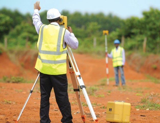
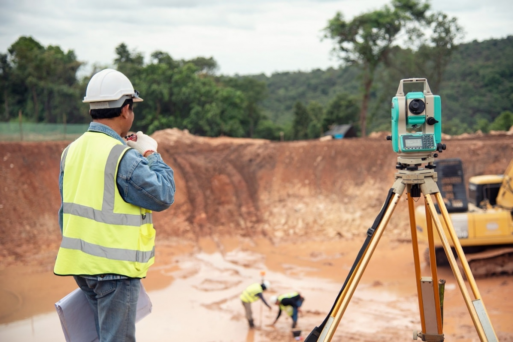
Global Positioning System (GPS) technology provides precise location data, which is essential for accurate measurements and positioning. By using GPS, we can determine exact coordinates and ensure that all aspects of our projects are aligned and positioned with high accuracy. Additionally, remote sensing technologies, such as aerial surveys and satellite imagery, offer a broad perspective of the land and structures. These technologies capture high-resolution images and data, allowing for detailed analysis and mapping of large areas.

At TCPL, the accuracy and reliability of our engineering surveys and mapping are crucial for delivering successful projects. Our meticulous approach ensures that our designs are feasible, cost-effective, and compliant with regulatory standards. By employing advanced technologies and conducting precise surveys, we ensure that our projects are executed efficiently and meet the highest quality standards. Engineering Survey & Mapping are key components of our commitment to excellence, enabling us to deliver infrastructure that meets both functional and safety requirements.

background

How We Work!!

Building your thoughts into reality

Evaluation And Signing Of The Contract.

Step 01

Preparation Of The Work Plan.

Step 02

Implementation Of Quality Works

Step 03

Delivering The Project To The Customer

Step 04